Themes & Projects
Browse
All Items
Divisions
Subjects
My Collections
Themes & Projects
About
Advanced Search
Help us improve our site.
Please take our survey
!
Digital Collections User Survey
×
Loading…
Home
Filtered search
FILTER SEARCH
Exclude Born Digital Content
DATE RANGE
to
Limit
ONLINE FORMAT
Image
33
ORIGINAL FORMAT
maps
16
ORIGINAL FORMAT
×
ORIGINAL FORMAT
COUNT
maps
16
LOCATION
North Carolina
3
Fear, Cape (N.C.)
2
Craven County (N.C.)
1
Kitty Hawk (N.C.)
1
South Carolina
1
LOCATION
×
LOCATION
COUNT
North Carolina
3
Fear, Cape (N.C.)
2
Craven County (N.C.)
1
Kitty Hawk (N.C.)
1
South Carolina
1
THEME/PROJECT
North Carolina Maps
Military History
6
Military History: Marines
5
Early American History
2
Military History: Civil War
1
Natural Disasters
1
North Carolina History and Fiction Collection
1
THEME/PROJECT
×
THEME/PROJECT
COUNT
North Carolina Maps
33
Military History
6
Military History: Marines
5
Early American History
2
Military History: Civil War
1
Natural Disasters
1
North Carolina History and Fiction Collection
1
SUBJECT
Cape Fear River (N.C.)--Maps
2
Cape Fear River (N.C.)--Navigation
2
Fear, Cape (N.C.)--Maps
2
Nautical charts--North Carolina--Cape Fear River
2
Battlefields--North Carolina--Maps
1
Coasts--North Carolina
1
Craven County (N.C.)--Maps
1
More
SUBJECT
×
SUBJECT
COUNT
Cape Fear River (N.C.)--Maps
2
Cape Fear River (N.C.)--Navigation
2
Fear, Cape (N.C.)--Maps
2
Nautical charts--North Carolina--Cape Fear River
2
Battlefields--North Carolina--Maps
1
Coasts--North Carolina
1
Craven County (N.C.)--Maps
1
Dare County (N.C.)--Maps
1
Fortification--North Carolina--Maps
1
Fryingpan Shoals (N.C.)--Maps
1
Fryingpan Shoals (N.C.)--Navigation
1
Harbors--South Carolina--Beaufort--Maps--Early works to 1800
1
Harbors--South Carolina--Charleston--Maps--Early works to 1800
1
Kitty Hawk (N.C.)--Maps
1
Landowners--North Carolina--Craven County
1
Marine Corps Air Station Cherry Point (N.C.)--Maps
1
Nautical charts--North Carolina--Fryingpan Shoals
1
North Carolina--Administrative and political divisions--Maps--Early works to 1800
1
North Carolina--History--Civil War, 1861-1865
1
North Carolina--Maps
1
North Carolina--Maps--Early works to 1800
1
Real property--North Carolina--Craven County--Maps
1
Sea Islands--Maps--Early works to 1800
1
South Carolina--Administrative and political divisions--Maps--Early works to 1800
1
South Carolina--Maps--Early works to 1800
1
U.S. Coast and Geodetic Survey
1
United States--History--Civil War, 1861-1865--Campaigns
1
DIVISION
East Carolina Manuscript Collection
8
Joyner NC Maps
4
Joyner Rare
1
DIVISION
×
DIVISION
COUNT
East Carolina Manuscript Collection
8
Joyner NC Maps
4
Joyner Rare
1
Filters
Search Results
33 results found for:
Reconstruction (U.S. history, "1865-1877)"
Theme/Project:
North Carolina Maps
Sort by:
Relevance
Date Digitized
Date Created
View all
North Carolina Maps
material.
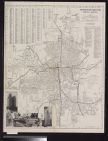
Ownership map of proposed Cherry Point Marine Avia...
Mouths of Roanoke River, North Carolina triangulat...
Core Sound and straits, North Carolina U.S. Geolog...
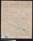
Eastern Craven County North Carolina Highway Map (...
Topography, state of North Carolina Chocowinity qu...
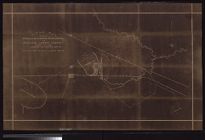
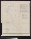
Sketch of Frying-Pan Shoals and Cape Fear River by...
Cape Lookout Shoals hydrography by the party under...
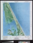
Kitty Hawk Quadrangle, North Carolina, Dare Co., 7...
Preliminary sketch of Beaufort Harbor, North Carol...
Oregon Inlet, N. Carolina triangulation by W. M. B...
Portions of Murphy and Nantahalah sheets, North Ca...
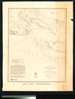
Pamplico Sound, North Carolina. Eastern sheet.
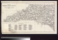
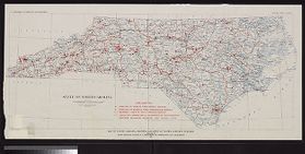
Map of North Carolina coast
Eastern Craven County and Carteret County, North C...
Map of Western North Carolina showing location of ...
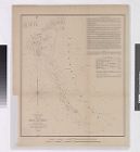
Sketch of Frying-Pan Shoals
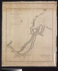
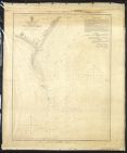
Preliminary chart of lower part of Cape Fear River...
Eastern Craven County North Carolina Highway Map (...
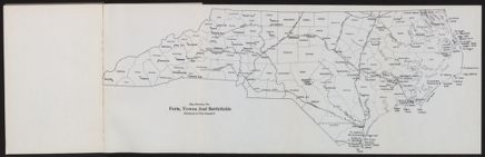
Map showing the forts, towns and battlefields ment...
Sketch of Beaufort Harbor, North Carolina from a h...
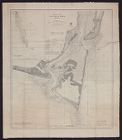
Entrances to Cape Fear River
Winston-Salem, North Carolina
Map of North Carolina showing location of water sa...
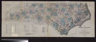
Map of North Carolina by W.C. Kerr ; assisted by W...
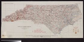
Map of North Carolina showing stream gaging statio...
Pasquotank River from a trigonometrical survey und...
Mouzon Map (1775)
Neuse River, North Carolina.
Beaufort Harbor, North Carolina.
Eastern Craven County and Carteret County North Ca...
Virginiae partis australis, et Floridae partis ori...
Virginiae partis australis, et Floridae partis ori...
Title map : Carolina Real Estate Trust Company vs....

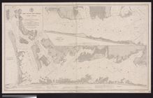

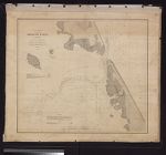


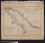
![Sketch of Beaufort Harbor, North Carolina from a hydrographic reconnoissance by the party of J.N. Maffitt [and] A.D. Bache, Superintendent.](https://digital.lib.ecu.edu/encore\ncgre000\00000011\00010452\00010452.jpg)

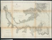

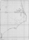
![Virginiae partis australis, et Floridae partis orientalis, interjacentiumq[ue] regionum, nova descriptio](https://digital.lib.ecu.edu/encore\ncgre000\00000011\00010393\00010393.jpg)
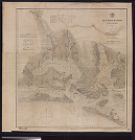
![Virginiae partis australis, et Floridae partis orientalis, interjacentiumq[ue] regionum nova descriptio](https://digital.lib.ecu.edu/encore\ncgre000\00000011\00010394\00010394.jpg)